| |
Mt. Elden Loop Hike - Coconino
National Forest
| Summary: |
A loop hike through pine and
oak forests around Mt. Elden in Flagstaff. You
can use this description to perform the loop
hike described or the more popular out and back
climb to the top of Mt. Elden. Several other
shorter loops are also possible, see the
map for ideas. |
| Directions: |
From Phoenix,
take I-17 north then highway 40 east to exit 201
for Page and the Grand Canyon. Turn left off the
exit ramp, drive over the bridge then take the
first right onto Highway 89. Drive 0.5 miles to
the parking area for Mt. Elden which is on the
left (west) side of the road. |
| Road Conditions: |
Passenger Car, paved all the
way |
| Navigation: |
Easy |
| Length: |
13.6 miles |
| Date Hiked: |
August 2004 |
| Weather Conditions: |
Mix of clouds and sun |
|
Required Skills: |
 |
| Hike Description: |
From the parking lot (0 miles
6900 ft), pick up the wide trail as it heads
along a gentle grade towards the mountain.
Follow the signs to the Mt. Elden Lookout at any
trail junctions. The path soon begins to ascend
more steeply as it begins climbing up the
foothills of the mountain. The predominant plant
life in the area includes oak, juniper, pine and
yucca. After passing the turn off for the
Fatmans Loop Trail the path begins climbing more
steeply up the main body of the mountain along a
series of switchbacks. Higher up the hill aspens
become more prevalent as you hike through an
area that was heavily burned in a 1977 fire. The
trail eventually reaches a shoulder with good
views back down the way you came of eastern
Flagstaff and beyond. The path to the lookout is
0.3 miles on a left branching spur trail. Our
path continues straight towards the Brookbank
and Schultz Creek Trails, however, you might
want to take a quick detour to see the top of
the mountain since you've come so far already.
Unfortunately the top of Mt. Elden (3 miles,
9295 ft) features a road and antenna array and
is not terribly exciting (though there is a
public pit toilet in case you need it). Detour
completed, we head north along the slope below
Elden Peak towards the Brookbank Trail (note:
this section does not appear to have a name, but
you can think of it as a continuation of the
Sunset Trail). The path soon parallels the road
that leads to the summit, then bends right and
follows the ridgeline towards the San Francisco
Peaks in the distance. The ridgeline is called
the 'catwalk' and has some nice views down to
the right of the ridgeline and area you will be
walking later on this hike. The path descends at
a pleasant grade through the pine forest and
would be quite a nice walk if it weren't for the
mountain bikes that also use the path. As you
continue hiking, follow the signs to stay on the
Sunset Trail at any junctions. After passing the
junction for the Little Bear Trail, the path
begins to ascends moderately, passing a junction
with the Brookbank Trail and eventually topping
out at a ridge before descending once again. You
descend at a gentle grade eventually reaching a
signed junction with the right branching Little
Elden Trail (7 miles, 8000 ft). Turn right and
follow this path past Schultz Tank and through
the woods eastward, roughly paralleling Schultz
Pass Road. The path is easy walking as it winds
through the trees below Elden Mountain to the
right. Stay straight on the Little Elden Trail
at any junctions until you eventually reach a
fence and Little Elden Spring. The spring is
basically a circular cement pool with many
branching paths in the vicinity. Stay to the
right following the fence line until you pick up
the brown plastic trail sign once again. Soon
after passing the spring the path bends right
(south) and becomes rougher and more eroded (due
to horse travel) as it winds its way through
juniper and oak scrub through some low hills at
the base of the mountain. After passing the
junction for the left branching Sandy Seep Trail
(11.6 miles, 7200 ft) you'll soon begin hear
traffic sounds from Highway 89. There are a few
use trails in this section that branch left
towards the road, stay right on the main path at
these junctions. The trail eventually passes
through some nice open grassy fields dotted with
alligator juniper before entering the pine
forest once more. Soon you'll reach a signed
junction indicating that you are now on the last
section of the Fatmans Loop stay left and walk
the remaining 0.3 miles back to the parking area
(13.6 miles, 6900 ft). |
| Rating (1-5 stars): |
  
A nice loop hike. I would have given it 3
stars if not for the mountain bikes and horses.
The author completed the loop hike described
solo at a quick pace in just over 5 hours. |
| Maps: |
Click
here for a map of the area. |
| Books: |
Sections of this loop are contained in:
The Favorite Hikes, Flagstaff & Sedona,
Cosmic Ray |
| Photos: |
Click picture for larger view, click your browser's 'Back' button to return to this page. |
 |
 |
 |
|
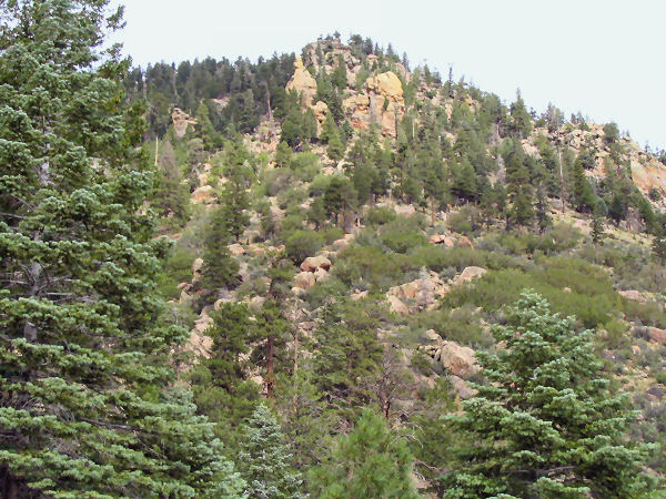
View climbing Mt. Elden. |
Antenna and the San
Francisco Peaks. |
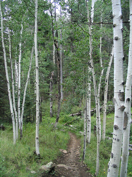
Aspen along the Little
Elden Trail. |
 |
 |
| Easy
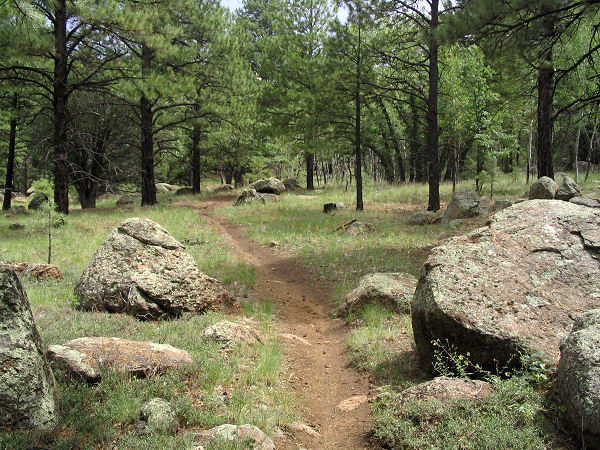
pleasant trail. |
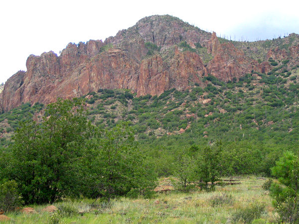
Mt. Elden range. |
|
|

