| |
Bear Wallow Wilderness - Apache
/ Sitgreaves National Forest
| Summary: |
A nice enough
hike beside a perennial stream in the White
Mountains of Arizona. Unfortunately there are
large thickets of poison ivy that line the
trail, which can make for a very unpleasant
experience. I will describe a short loop
descending the Bear Wallow Trail to the Reno
Trail and using FR #25 to return to your car. |
| Directions: |
Drive Highway 191 south from
Alpine or north from the mining town of Morenci
(very interesting if you want to see the impact
of large scale copper mining) to Forest Road
#25. Head north on the well graded, gravel FR
#25 for 3 miles to the signed Bear Wallow
Trailhead on the left. |
| Road Conditions: |
Passenger Car |
| Navigation: |
Easy |
| Length: |
7.5 miles |
| Date Hiked: |
June
2003 |
| Weather Conditions: |
Nice |
|
Required Skills: |
Immunity from poison ivy |
| Hike Description: |
From the
signed Bear Wallow Trailhead
begin descending along a well worn path into the
wilderness (0 miles, 9000 feet). The path drops
down along a tributary of Bear Wallow Creek
through an area covered with a lot of fallen
trees. After 1.5 miles you will reach the main
creek and the path bends right to follow it. The
creek itself gurgles through black, basalt
boulders and is lined with a few nice meadows in
this upper section. The trail crosses the stream
a few times as you descend, until you eventually
reach a signed junction with the right branching
Reno Trail (2.6 miles, 7260 feet). Below the
Reno junction, the path becomes rather moist and
poison ivy appears, first as a few plants along
the trail, then as large bushes lining the path.
Those with allergies to this bothersome plant
will either want to be on horse back, or be
wearing long pants to continue. Otherwise, to do
a loop, turn right on the Reno trail, and begin
climbing along the left slope of a prominent
drainage. The path climbs moderately along this
drainage, bends left, into a smaller tributary,
then climbs the remaining way up the FR #25
across from a road which leads a short distance
to the Reno lookout tower (4.5 miles, 8880
feet). Turn right and follow FR #25 the
remaining 3 miles back to your car (7.5 miles,
9000 feet). |
| Rating (1-5 stars): |
 
I had initially planned to hike the Bear
Wallow Trail down to the Indian reservation
boundary and back, but was turned around by the
thickets of poison ivy about 15 minutes below
the Reno Trail junction. I hiked out on the Reno
Trail to make a loop out of it. Not really that
interesting of a hike. The loop was completed in
2 hours 45 minutes at a brisk pace. |
| Maps: |
Coconino National Forest Map |
|
Books: |
Exploring Arizona's Wild
Areas - Scott S. Warren |
| Photos: |
Click picture for larger view, click your browser's 'Back' button to return to this page. |
 |
 |
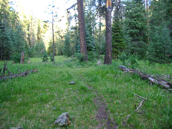
| A
nice meadow beside the creek. |
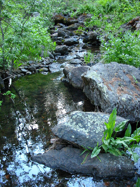
Bear Wallow Creek. |
|
|
