| |
Tanner Wash - Marble Canyon
| Summary: |
A long slog down a side canyon of the Colorado on the
Navajo Nation side of Marble Canyon. To hike on Navajo land you'll need to
pick up a permit from the Ranger's station located in Cameron at the
junction of Highways 89 & 64. |
| Directions: |
From Flagstaff drive north on Highway 89.
The wash is just south of the small Navajo Village of Bitter Springs. A sign
marks the wash where a small bridge crosses the drainage. Park at a pull off
on the south east side of the bridge (or if the weather is dry, maybe park
under the bridge). With a high clearance vehicle (and dry weather, once
again) it would be possible to drive quite a ways down the wash and save
some of the slogging involved in the hike, but I do not know if this is
legal or not. |
| Road
Conditions: |
Passenger Car |
| Navigation: |
Easy, except for one spot described below |
| Length: |
A hike all the way to the river and back would be close
to 18 miles, or just hike in as far as you want and return |
| Date
Hiked: |
October, 2004 |
| Weather
Conditions: |
Sunny and warm |
|
Required Skills: |
 |
| Hike
Description: |
From the Highway 89 bridge, begin slogging your way down
the wide sandy wash. The wash bends right and heads past a water tank and a
few houses before entering a somewhat deeper canyon. The hiking is flat and
easy at first, though the scenery isn't terribly interesting and there is
quite a bit of trash including several junked cars, many plastic containers
and, for some reason, a bunch of toy balls. As the drainage deepens, the
boulders that litter the canyon floor become larger, though none pose any
difficulty. There are a few pools and small drop offs, but these can be
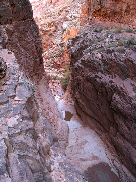
bypassed on the left. In the Coconino Sandstone the drainage narrows and
begins dropping steeply to a sheer dry fall. When you reach this point, back
up and retrace your steps for 0.2 miles or so (10 minutes) and look for a
route that leads around this section on top of the Coconino layer on canyon
left (the left side of the canyon when facing down stream). There are a few
occasional cairns along the route which reaches a large scree slope after
about 0.5 miles. From where the trail ends you'll want to climb up the slope
(to get around a steep section), then straight down where the crumbly
breakdown has formed a fin that touches the top of the Coconino layer. I was
able to get down this slope all the way to the final cliff band above the
floor of the canyon (watch your footing, the rocks are loose). I spent about
an hour searching for a route down these two cliffs, but was not able to
find a way down the second one and with the heat of the day decided to
retreat. Because I saw a few cairns on the slope and the two sources below
both indicate it's possible, I am fairly certain that you can get all the
way back down into the stream bed; however, I suggest allowing extra time in
this section to scout a route. |
| Rating
(1-5 stars): |
 
The author and his wife completed this hike to the scree slope and back in
7 hours. |
| Maps: |
None |
| Books: |
Canyon Hiking Guide to the Colorado
Plateau - Michael Kelsey
Canyoneering Arizona - Tyler
Williams |
| Photos: |
Click picture for larger
view, click your browser's 'Back' button to return to this page. |
 |
 |
 |
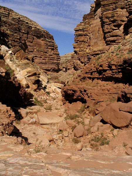
Typical view in
Tanner Wash. |
The drop off. |
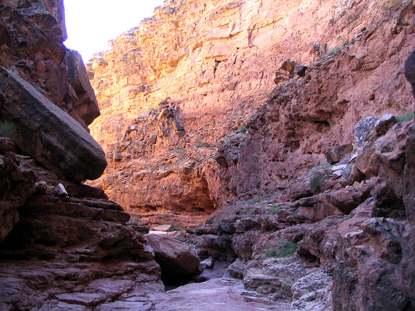
Another view in the canyon. |
|
|

