| |
Black Canyon - Prescott
National Forest
| Summary: |
A physically demanding
technical canyon with rappelling, swimming and
bushwhacking. Be aware that the rock in this
canyon is very slick, use care when hiking and
climbing.
Gear required: helmet, webbing (50 ft), harness,
descender, a minimum of a 150' rope and 100'
pull cord (though I'd strongly recommend a 200’
rope and 200' pull cord, since this will provide
more anchor options). A wet suit will be needed
in cold weather. This trip is suitable for
experienced and fit canyoneers with good
climbing skills who are familiar with evaluating
and using natural anchors. Please leave the bolt
kit at home, this canyon can be safely completed
using natural anchors. |
| Directions: |
From Phoenix take
I-17 north to Camp Verde to exit 287. Turn left
(west) onto Highway 260 and drive 9.6 miles.
Between mileposts 209 – 210 turn left (south)
onto the dirt Ogdon Ranch Road (ok for passenger
cars). Follow this road 4.3 miles to the parking
lot at the end (watch where you park, there is
broken glass everywhere). |
| Road Conditions: |
Passenger Car |
| Navigation: |
Easy |
| Length: |
~13 miles |
| Date Hiked: |
February 2006 |
| Weather Conditions: |
Sunny |
|
Required Skills: |


 |
| Hike Description: |
Begin this hike by following
Trail #114 to the
point where it drops down to travel next to the
stream bed of Black Canyon. Leave the trail at
this point and begin walking down the drainage,
which is pleasant and forested in this upper
section. After 15 minutes the character changes
suddenly as the stream drops into a rugged
basalt gorge. Stay to the left to bypass a few
drop offs and pools. Climb down into the
drainage when it levels out and continue
through the brush down stream. After some hiking
the first rappel is reached. I suspect it may be
possible to bypass this rappel by descending a
steep scree slope on canyon left. Otherwise, it
can be rappelled using a small tree and boulder
on canyon right at the top of the drop for an
anchor. The rappel is 140' from this anchor.
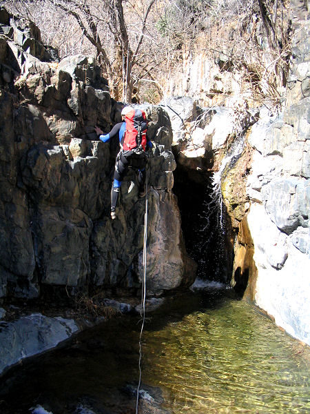
Once down, switch to the left side of the canyon
to climb down a few short drops, then a
little bush whacking will bring you to rappel
#2, a nuisance drop of 12' from a tree at the
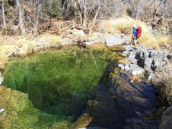
top. There are some nice pools in the area and
the water is exceptionally clear with a green
tint in the places that don't see much sunlight
(there was algal growth in the sunnier spots).
More rock hopping, bushwhacking and down
climbing will bring you to rappel #3, a 90'
rappel from a boulder on canyon left (the length
of the rappel and rope needed will depend on the
anchor used). A bit of slogging and bushwhacking
through unremarkable canyon will eventually
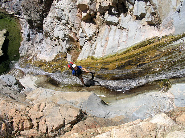
bring you to rappel #4, a beautiful 125'
cascade. The anchor for this rappel is a little
tricky. We used a sling girth hitched around a
football sized rock, the rock was then placed
against a crack in a large boulder on canyon
left which was far to narrow to permit the rock
to slide through. The sling was then routed
through the crack so that when the rope was
weighted it would force the anchor rock to pull
tightly into the small crack creating a solid
anchor. If you are unfamiliar with this type of
anchor, it might be possible to use other
boulders or trees that are located much further
up canyon, though this will require considerably
more webbing and rope. Once down, continue your
progress down stream. Soon the hills on either
side of the drainage begin to dwindle and
you may begin think the trip is winding down,
not so. The stream soon enters a narrow walled,
water filled gorge at a point where a stream
flows in from a drainage on canyon left. If the
weather is cool this is a good place to put on your wet suit since
it will not be possible to stay dry through this
section. The narrows
are quite scenic and in my opinion make up for a
lot of the slogging to reach them. Enter the
narrows and soon you'll reach rappel #5, a 15
footer into a pool from a pin wedged in a crack
at the top of the drop. Just below is a 10 foot
jump or slide into another deep pool. A few more
swims and down climbs and the narrows end as
suddenly as they appeared and the streambed
becomes rocky and pleasantly brush free. Rock
hop down canyon, the walking is easiest right in
the stream bed. Soon the water goes underground,
reappearing at occasional intervals. As the wash widens,
the walking becomes easier. Though it may not be
the shortest route, I strongly recommend you
remain in the streambed, until you reach the
point marked on my map.
Exiting the drainage earlier will bring you into
contact with thickets of cats claw. Once you
arrive at the exit location marked on the map,
leave
the drainage to the north and pick up Ogdon
Ranch
Road. Turn left on the road and follow it the
remaining 1 mile
back to the trailhead and your car. |
| Rating (1-5 stars): |
  
The author completed the hike with 2 capable
friends at a fast pace in 10 hours. Slower and
larger groups will take longer, perhaps much
longer. |
| Maps: |
Click
here for a map of the
hike. |
| Books: |
Canyoneering Arizona (2nd edition)
- Tyler Williams |
| Photos: |
Click picture for larger view, click your browser's 'Back' button to return to this page. |
 |
 |
 |
| An
icy rappel #1. |
Clear
green pool. |
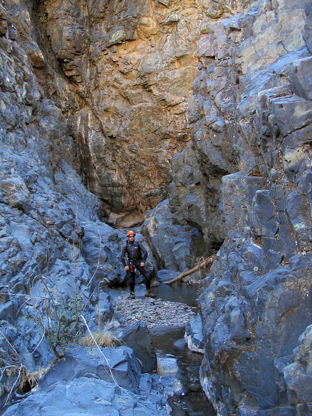
Alcove below rap
#1. |
 |
 |
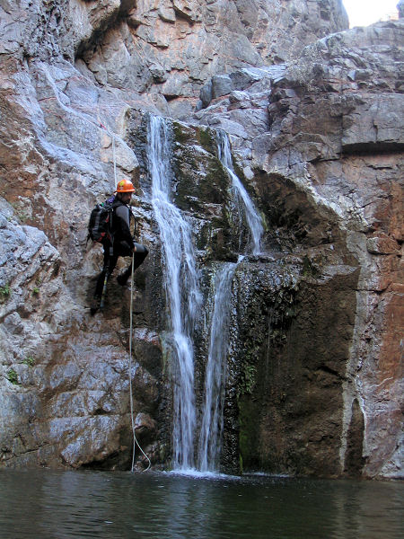 |
| Rappel #2. |
Rappel #4. |
Rappel #5. |
|
|

