| |
Brins Mesa Loop - Sedona
| Summary: |
A half day loop hike using the Brins
Mesa, Soldier Pass and Jordan trails in Sedona. An optional detour to a few
arches is also described. The hike is described traveling counter-clockwise
beginning at the Brins Mesa Trailhead. |
| Directions: |
This hike can be done from either the Soldier Pass,
Jordan or Brins Mesa Trailheads. I'll describe it from Brins Mesa (since
parking there is easiest), but here are directions to each).
Soldier Pass Trailhead: From the junction of Highways 179 and 89A in Sedona
head south on 89A for 1.2 miles and turn right onto Soldier Pass Road. Drive
1.5 miles and turn right on Rim Shadows Drive. After 0.2 miles you'll hit a
weird multi-road intersection, stay straight and just beyond is a sign for
the Soldier Pass Trailhead on the left (parking limited to 14 vehicles).
Jordan and Brins Mesa Trailheads: From the junction of Highways 179 and 89A
in Sedona head north on 89A for 0.3 miles and turn left on Jordan Road and
follow it 0.8 miles to the end at a 'T' junction. Turn left onto Park Ridge
Drive which soon becomes well graded dirt. After a short drive you'll pass
the Jordan Trailhead, then a little further along the road ends at the
trailhead for Brins Mesa. |
| Road
Conditions: |
Passenger Car |
| Navigation: |
Easy |
| Length: |
5.2 miles |
| Date
Hiked: |
May 2005 |
| Weather
Conditions: |
Warm & sunny |
|
Required Skills: |
None |
| Hike
Description: |
From the Brins Mesa Trailhead, pick up
the wide, rocky path as it heads northwest through the juniper dotted
landscape. After 5 minutes you'll pass a Red Rock Secret Mountain Wilderness
boundary sign. The trail ascends gradually at first, then at a somewhat
steeper grade as it reaches the head of the wide valley you've been
following, to climb to the top of the mesa. The path then begins descending
gently and soon reaches the signed junction with the left branching Soldier
Pass Trail (the Brins Mesa Trail continues straight). Turn left onto the
Soldier Pass Trail (2.0 miles) and begin descending into the valley below.
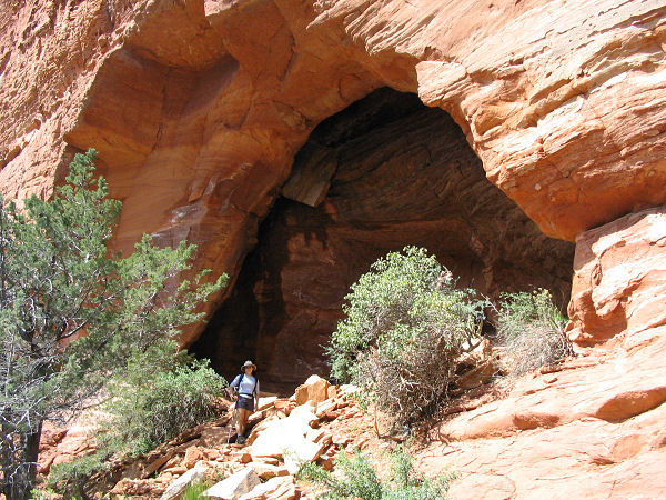
Looking to the left you'll notice a few prominent alcoves in the red rock.
These alcoves are actually arches, though they are only separated from the
cliff band by a few feet. To take a side trip to this feature, follow the
Soldier Pass Trail down until it crosses a dry stream bed. On the other side
of the stream is a wooden sign pointing right for the Soldier Pass Trail and
a use trail leading off to the left. Turn left and follow this use trail up
across the slick rock to the arches above. Continuing down the Soldier Pass
Trail, you'll soon reach a low cable fence and dirt road. To remain on the
trail, turn left and look for the path to resume its progress down canyon.
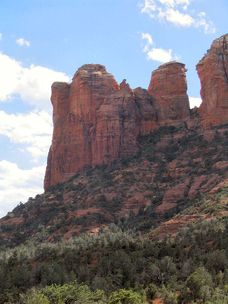
As you continue to descend you'll pass through a few shady stands of
Smooth-Bark Arizona Cypress and have views down canyon of coffeepot rock.
When you again reach a dirt road, stay to the left and you'll run into the
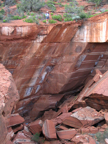
Devil's Sinkhole (4.0 miles), a 30'-50' sink (depending on which side you're
standing on) that formed in the late 1800's. Stay left past the sink to the
sign for the Jordan Trail which points left, you'll find another sign
shortly afterwards. The Jordan Trail is marked at frequent intervals by wire
covered cairns and appears to be a popular mountain bike path (though I did
not see any). It's easy walking (obviously, since mountain bikes can't
travel on anything that would be considered difficult on foot) as the path
winds it way to the junction with the left branching Cibola Trail. Stay
straight on the Jordan Trail (though the Cibola Trail will actually take you
back to Brins Mesa also) which eventually winds up following some telephone
lines to the Jordan Trailhead and Jordan Road (5.2 miles). Turn left and
follow the road a short distance to your car. |
| Rating
(1-5 stars): |
  
The author and his wife completed the loop hike and detour to the arches
at a moderate pace in 3 hours. |
| Maps: |
Bear Tooth Maps: Sedona |
| Books: |
'The Favorite Hikes: Flagstaff & Sedona'
by Cosmic Ray |
| Photos: |
Click picture for larger
view, click your browser's 'Back' button to return to this page. |
 |
 |
|
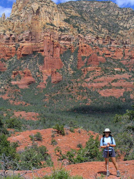
Brin's Mesa. |
Soldiers Pass arch. |
 |
 |
| Coffeepot Rock. |
Devil's Sinkhole. |
|
|

