| |
Panamint Dunes - Death Valley
National Park
| Summary: |
A medium length cross country
hike across the desert flats to some seldom
visited sand dunes located north of Panamint
Springs. |
| Directions: |
From Panamint Springs, drive
east on CA 190 for 5 miles to an unsigned dirt
road to the north. Follow this bumpy dirt road
5.6 miles north to where the road bends sharply
to the right (east) and park. |
| Road Conditions: |
High Clearance Vehicle |
| Navigation: |
Easy |
| Length: |
8 miles |
| Date Hiked: |
November 2004 |
| Weather Conditions: |
Pleasant and sunny |
|
Required Skills: |
None |
| Hike Description: |
From the parking area, simply
head across the desert dodging creosote bushes
towards the dunes in the distance. It's a little
rocky at first as you pass across an alluvial
fan, then flat easy walking. Take a look behind
you at least once along the way to get line of
sight orientation to your vehicle. Though not as
sculpted as the ones near Stovepipe Well, you'll
likely have them all to yourself with no other
human footprints to mar the scenery (a variety
of little critter prints though). Hike to the top of
the tallest dune, study the fluidized movement
of sand, take some pictures and, when ready,
return the way you came. |
| Rating (1-5 stars): |
  
The author and his wife
hiked out to the dunes, climbed around most of
them, then returned to our car in just under 4
hours. |
|
Maps: |
Trails Illustrated - Death
Valley National Park |
| Photos: |
Click picture for larger view, click your browser's 'Back' button to return to this page. |
 |
 |
Heading cross country
towards the dunes. |
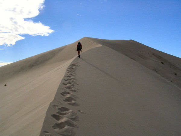
Climbing the big dune. |
 |
 |
|
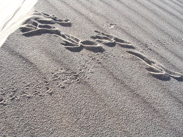
Bird and bug
prints. |
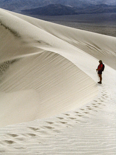
Sweeping arc of
sand. |
|
|

