| Summary: |
A strenuous hike to the
highest point in Arizona topping out at 12,633 ft. Do not do this hike if
thunderstorms threaten. Once above treeline you will be hiking along an exposed
ridge and will be an easy target for a lightening strike. |
| Directions: |
The trail begins at the
Weatherford Trailhead. Take I-180 North out of Flagstaff. At the Museum of
Northern Arizona turn right onto Shultz Pass Road (FR 420). Follow this well graded
dirt road to the parking area for the Weatherford Trail on the right. |
| Road
Conditions: |
Passenger Car - well
graded dirt roads |
| Navigation: |
Easy |
| Length: |
19.8 miles |
| Date
Hiked: |
July, 1998 & August,
1999 |
| Weather
Conditions: |
Warm at the bottom cool
at the top. |
| Required Skills: |
 |
| Hike
Description: |
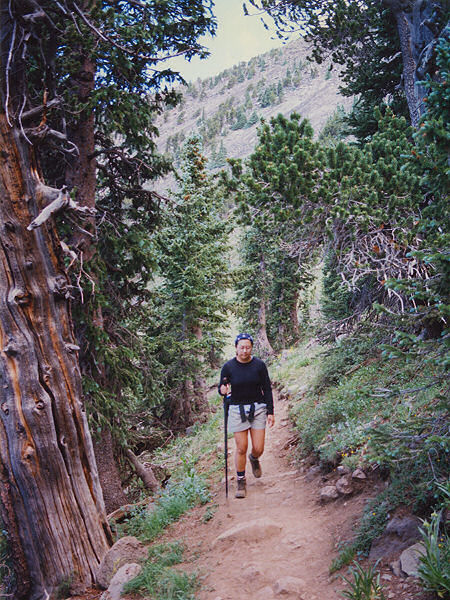
From the Weatherford
Trailhead walk across Shultz Pass Rd. and begin hiking uphill. After 1/2 mile or so
you will pass through a nice grove of quaking aspen. Another 1/2 mile will bring you
to an intersection with the Katchina Trail, bear right to continue on Weatherford.
After 1.6 miles you will come to a signed boundary of the Katchina Peaks Wilderness.
Continue uphill on a well graded old jeep trail. After an additional 8.1 miles
(tired yet?) you will reach Doyle Saddle and the beginning of the best part of the
hike. From the saddle the trail continues uphill through pretty pine forested slopes
with great views of the San Francisco Range to the right. After passing through a
heavily forested area the trail rises above tree line and passes over an unnamed
saddle. You then drop down to a junction with the heavily traveled
Humphrey's Trail which you can follow about a mile to
the summit. Stay right and continue up to Humphrey Peak. After soaking in the
view continue back the way you came. |
| Rating
(1-5 stars): |

The author has done this hike twice since moving to Arizona (can you say
glutton for punishment?). The elevation gain (approximately 4,500 ft) coupled with
the length and oxygen deprevation make this an extremely strenuous hike. You will be
rewarded, however, with terrific views and a great deal more solitude than if you had
followed the crowds up the trail from Snow Bowl. Another option is to park a car at
the Weatherford Trail then drive around to Snow Bowl. Hike up to the peak from the
ski area, then down the other side on the Weatherford Trail (the author has also done this
hike). |
| Maps: |
Earth Tracks - San
Francisco Peak Recreation Map |
| Photos: |
Click picture for larger view, click your
browser's 'Back' button to return to this page. |