| Hike Description: |
From the parking spot, cross the bridge over the
canal and follow the road to the right and up
and over a small hill. Hop the fence on the
right and head east along a dirt road, then turn
north on a spur road just before reaching a
prominent hill located between the "Borrow Pits"
(a fence will be on your right). Duck under the
barbed wire fence and travel cross country to
the northeast towards an arm that extends off of
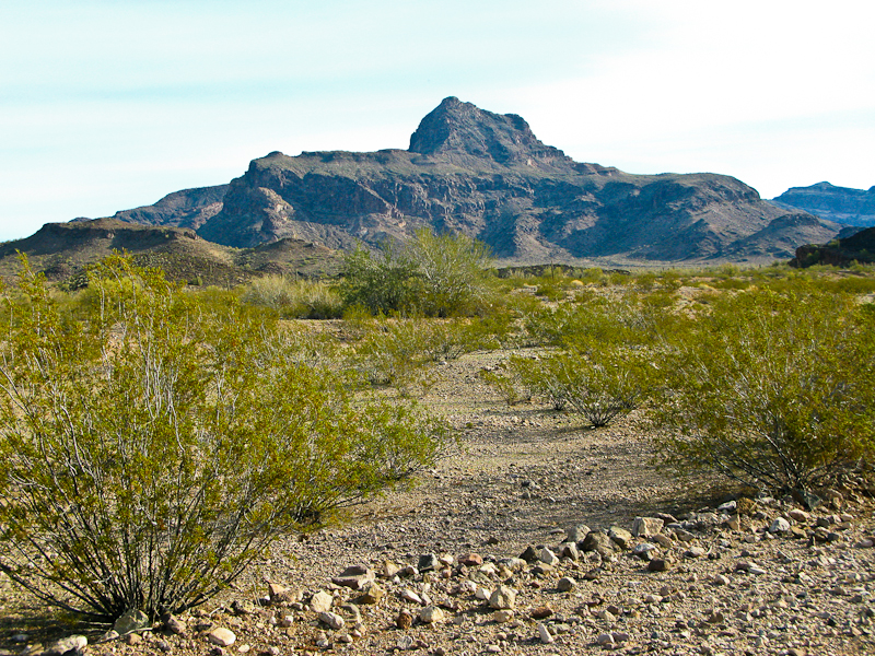
the south side of Big Horn Peak (see map below).
It's an easy stroll through the creosote bushes,
though you'll have to cross a few minor washes
as you near the bottom of the slope. As you near
the arm, scan the peak to make note of a
prominent ravine that forms a notch near the top
of the south facing side of Big Horn Peak.
Though you won't be climbing up the ravine your
route lies just to the left. With the ravine
identified, climb up the arm to the northeast to
eventually gain a rounded shoulder. Turn left
(north and slightly west) to continue climbing
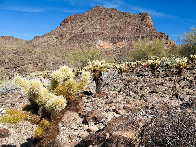
at a more gentle grade up the teddy-bear cholla
dotted slope (using care note to brush the
cacti). Continue in a westerly direction across
the ravine you had identified earlier (you'll
see some cliffs at it's head). A less prominent
ravine lies just to the west of the main notch,
use this one to climb up above the cliff bands.
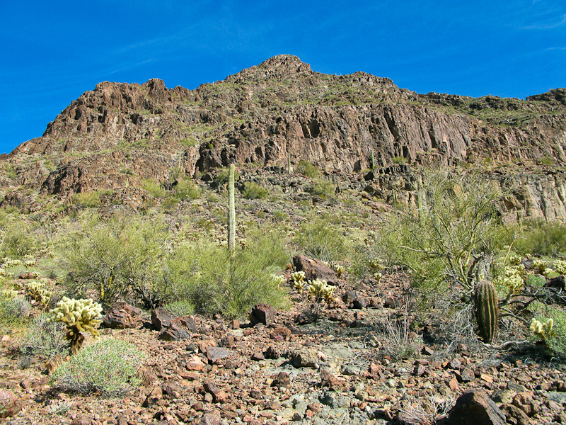
Although the climbing is not technical, you'll
want to stick to rockier areas that
provide better traction. Above the cliff bands
bend northeast once again to climb at a diagonal
to a rocky ridge that lies below the summit.
Climb straight up this ridge to a minor saddle
just to the east of the peak. From here, it's a
short scramble to the top of the peak itself.
The summit features great 360 degree views and
has a register located in a fruitcake tin that
dates back to the early 1990's. The summit seems
to get about a dozen or so visitors per year.
When ready, return the way you came, using
particular care on the loose rock as you descend
the steep slope. |

