| Hike
Description: |
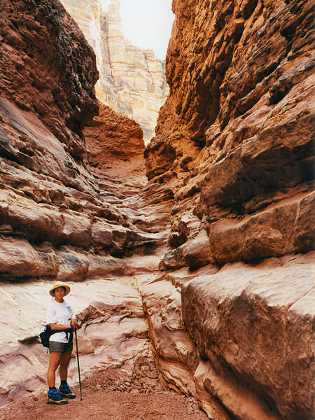
From 89A walk into the shallow drainage
to the west - it's easiest to bypass the first barbed wire fence at the
cement bridge, the second can be ducked under. The canyon deepens fairly
quickly and it's easy walking. Soon you'll pass a drainage entering from
the right (facing down canyon), then further down there is a junction with
a large canyon entering from the right (with many foot prints - I suspect
this is the major entry point for the Navajos) and a smaller canyon on the
left (see below *). About 45 minutes after the start of your hike you will
arrive at a drop off of ~40 feet. There were several fixed ropes in place
at this point for use as a hand line when the author was there (and
according to other accounts I've read, ropes are reported to always be
present). You could also try to climb down (the author climbed down and
back up without using the ropes), however, this could be tricky if the
rock were wet. Below the drop off is a nice, if short, stretch of narrows
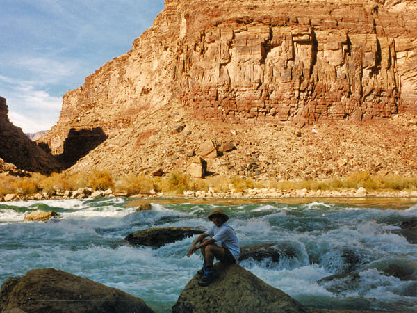
and you will begin to hear the faint roar of the Colorado below you. Lower
in the canyon you will encounter a number of boulders which require some
scrambling to negotiate, but nothing difficult. If you are concerned about
getting lost in a high walled canyon with two directions (down and up), do
not fear - someone has helpfully spray painted fluorescent yellow arrows
pointing the way. After about an hour and twenty minutes you'll reach a
sign telling you that you are now entering Grand Canyon National Park
(permits required for overnight camping, firearms prohibited), and just
beyond is the Colorado River. The canyon you see coming in directly
opposite is Badger Canyon. Return the way you came.
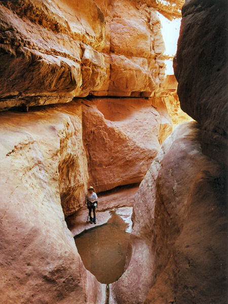
(*) Heading up this side canyon in ten
minutes you will come to a dry fall and several small pools. There was a
fixed rope held in place by a bolt and hanger just before the dry fall on
the left (facing up canyon), when the author was there. This wall can also
be climbed with out the aid of the rope (which is what the author did).
Just above the dry fall is a short, but nice, stretch of narrows worth
checking out.
|