| Page 1
Page 2
Page 3 Page
4
Home
Trip Reports |
| |
| A bit tired of carrying our full
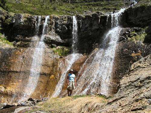
backpacks, we opt for a day hike up to see what other sites Ordesa Canyon
has to offer. With the snow pack still melting at the higher
elevations, water is in no short supply. |
 |
| |
|
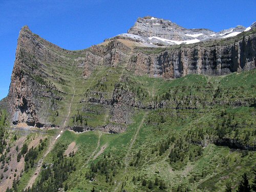
We amble across a hike that leads up to the top of
the rock prow on the left of the photo below (called Tozal del Mallo)
and decide to give it a shot. |
 |
|
|
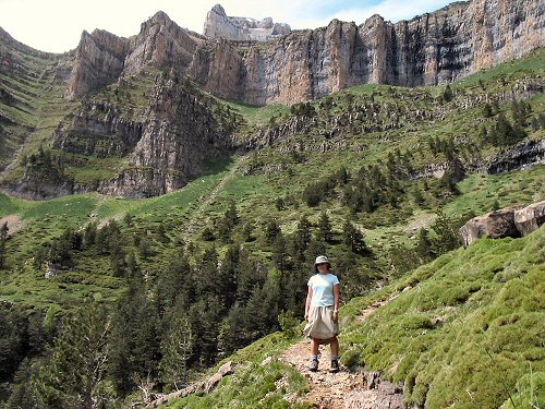
Once again, the scenery along the way
is outstanding. Here's how the Ordesa Y Monte Perdido Parque Nacional
is described in the visitor map.
"The national Park is a zone of outstanding
geographical interest, dominated by the 3,555 meters of the Monte
Perdido massif; the largest limestone massif in western Europe. The
Park's high altitude and steep slopes are the result of its complex
geological and morphological history and harsh climate. The scenery
is one of stark contrasts. The high zones are home to an arid
karstic terrain, from which rain and meltwater filter underground
through fissures and swallow-holes. In the valleys, meanwhile, water
is ever present in the form of cascades and springs enfolded by lush
vegetation."
|
 |
| |
|
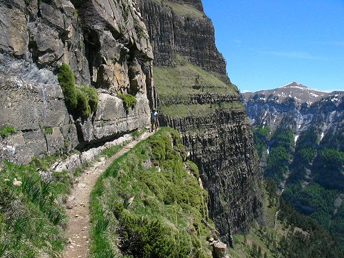
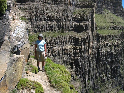
Usually hiking, while strenuous, is more of a relaxing,
contemplative activity. The path we followed decided to demonstrate
that a bit of excitement was not out of the question. |
 |
| |
| Here's a closer view of the same area. |
 |
|
|
|
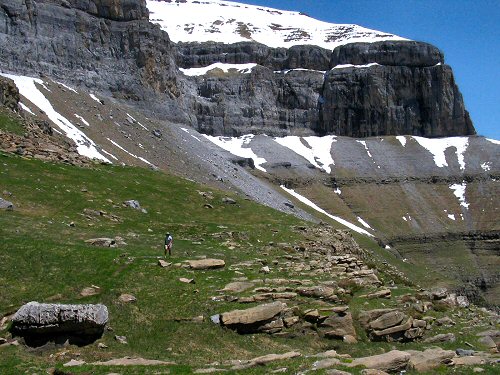
At the top of the ridge the terrain becomes more alpine
in nature. Marmots and mountain goats (called Chamois) dot the
landscape. |
 |
|
|
|
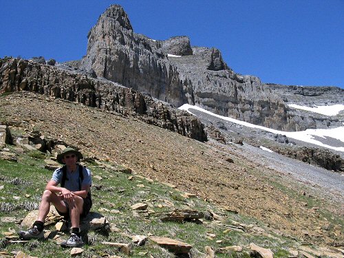
Well, we didn't quite make it to the tip of Tozal del Mallo.
Instead we decide to turn around about 1/2 hour from the summit in order to keep the hiking
time down to a mere 11 hours. It's the journey that counts though and
I chock this hike up as a successful one all the same. |
 |
|
|
| Page 1
Page 2
Page 3 Page
4
Home
Trip Reports |

